
Updated April 15th, 2014.
Manteno, IL
by Joshua Bauer
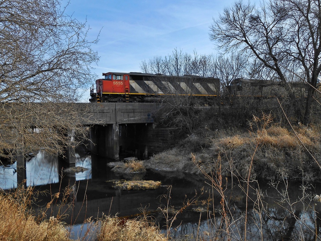
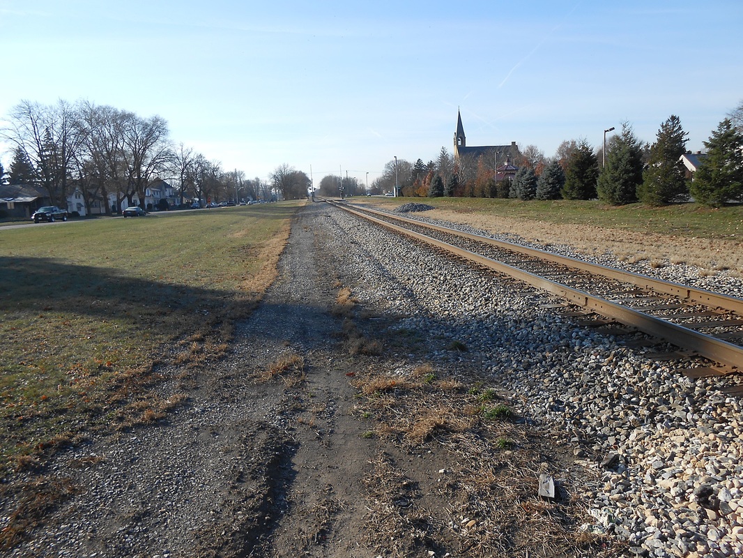
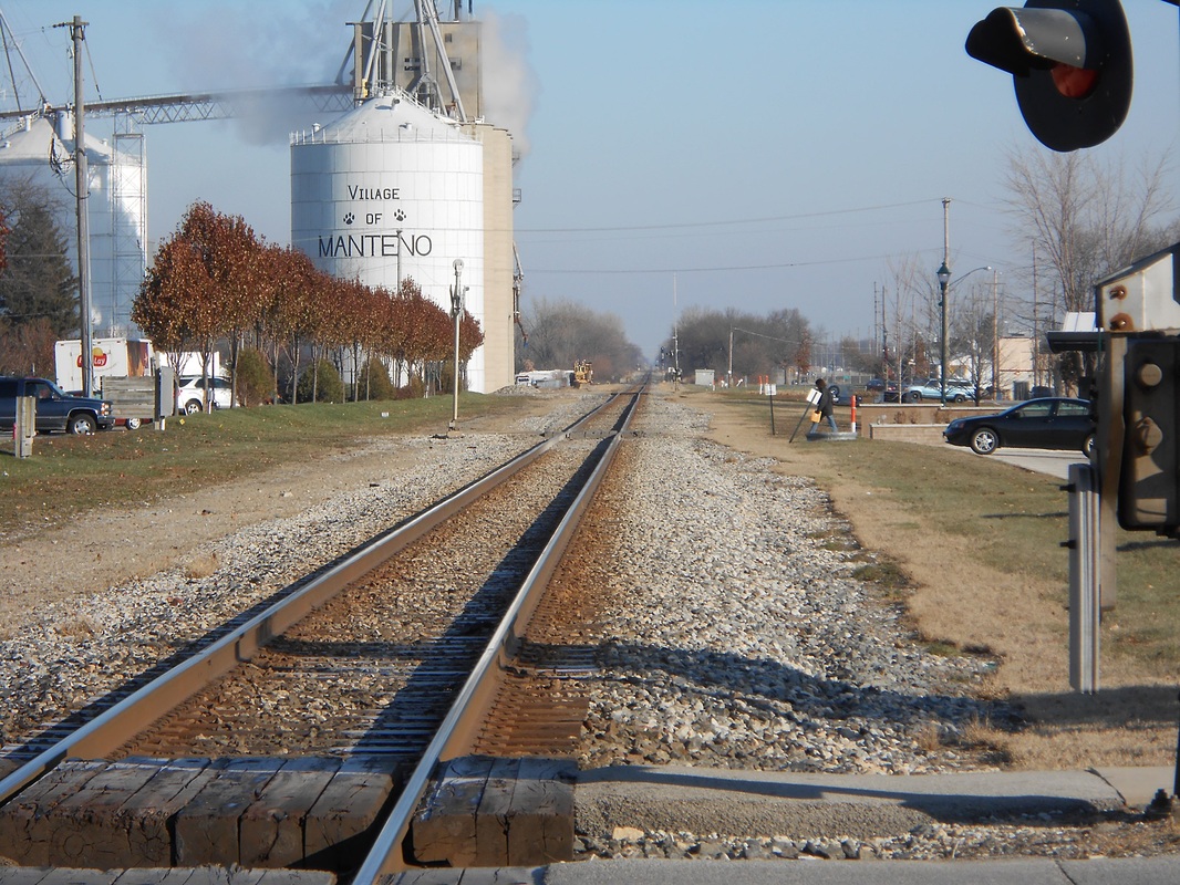
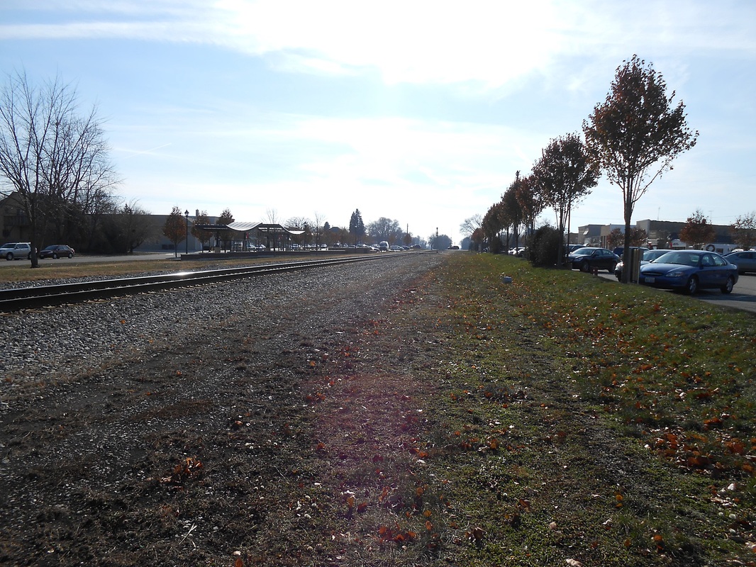
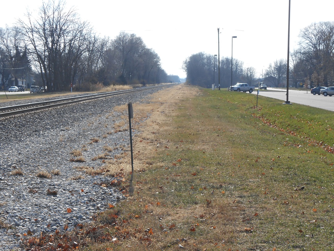
Manteno is named after Manteno Bourbonnais, daughter of Francois Bourbonnais Jr. The town nearly hits 10,000 people making it one of the larger small towns in the area. The town has the CN Chicago Subdivision running north and south through the town which is ex-Illinois Central. At one time, Manteno had a depot, telegraph office, and mail/package transfer station as well as an asylum serviced by the Illinois Central that is now simply a branch for a mildly used warehouse. Additionally, the town has several grade crossings and an elevator with silos that is serviced both by truck and the Canadian National Railway. Additionally, Manteno has some rough track and houses a small bridge immediately south of town and a curve past the water treatment facility at Amberstone Road grade crossing as the line heads southeast towards Kankakee. The town was founded in 1855.
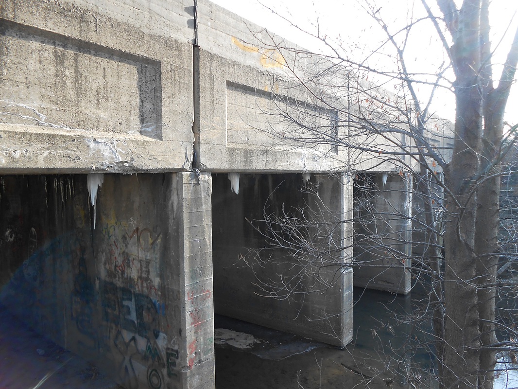
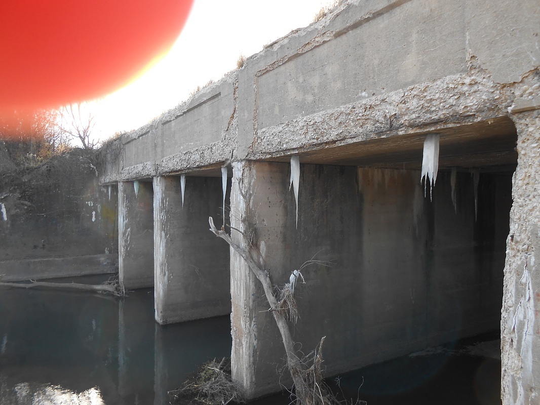
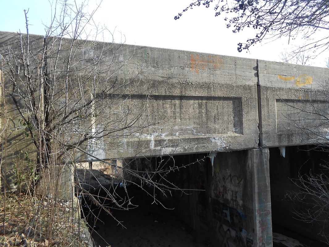
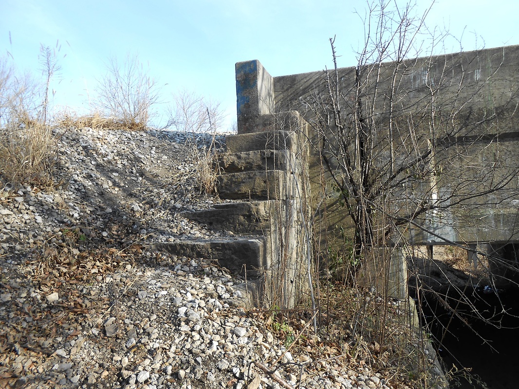
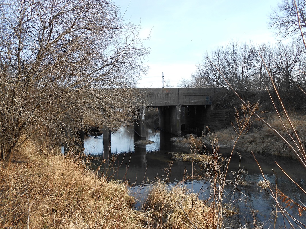
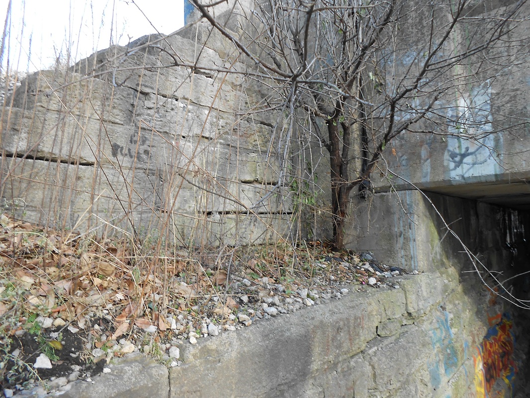
Rock Creek Bridge
The concrete bridge standing today replaces an assumed wooden trestle bridge. Both bridges were built to hold 3 tracks, and currently there is only one mainline to cater for. The concrete bridge is made of concrete blocks and concrete sections with the same style casting found in all of the other concrete bridges installed by the Illinois Central. It is referenced in a 1956 track chart, which is shown further down.
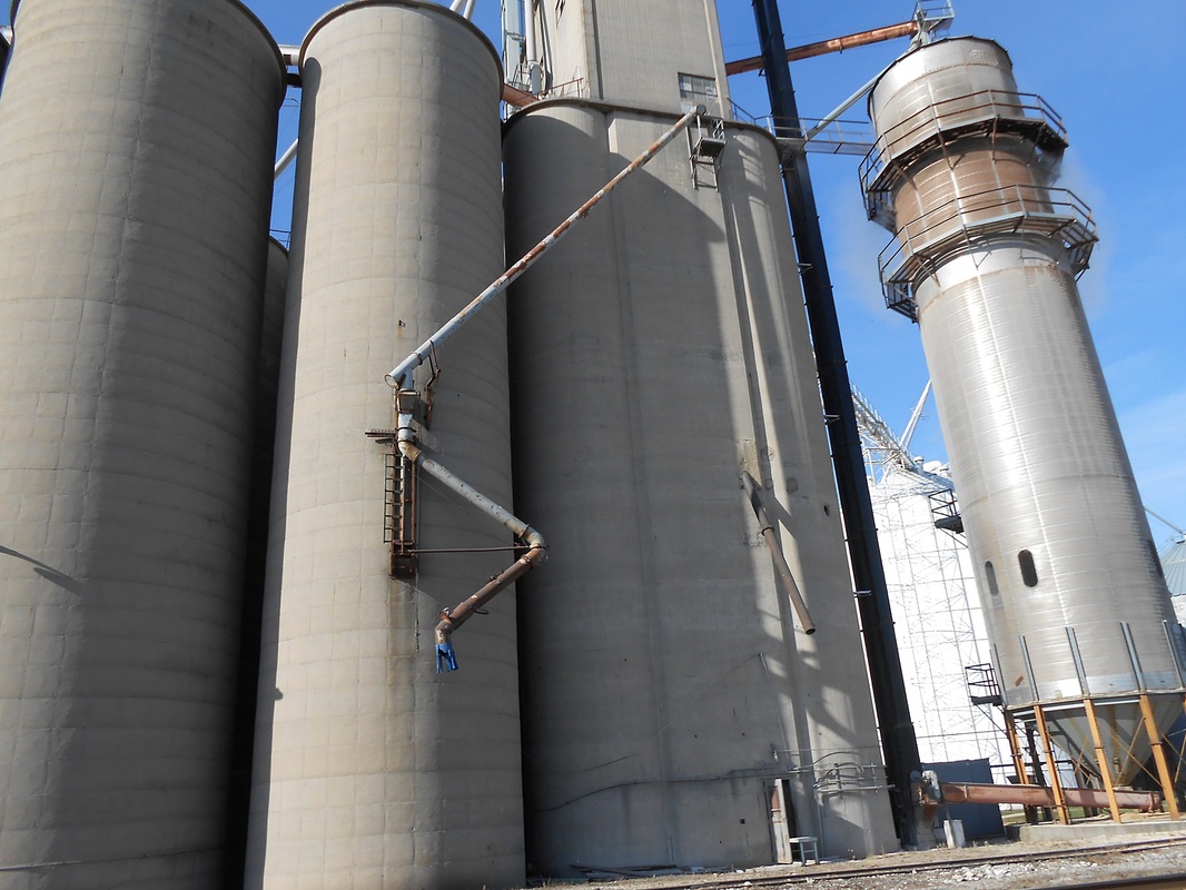
Industries
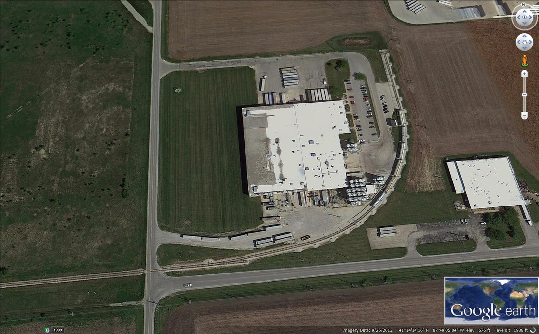
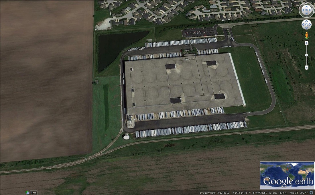
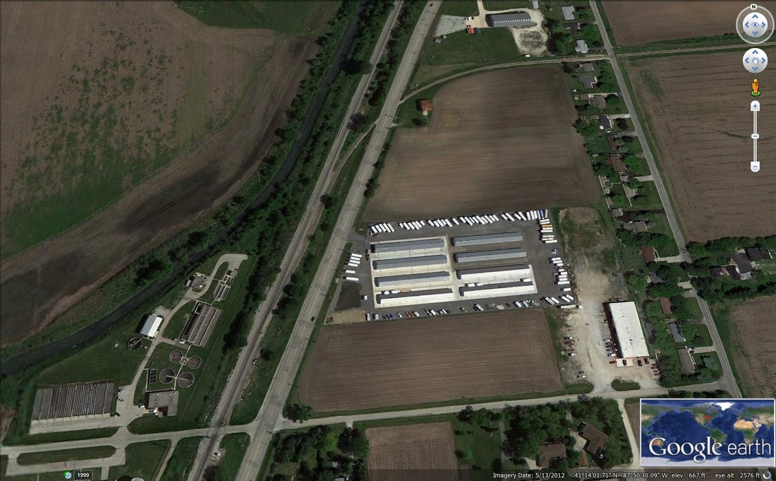
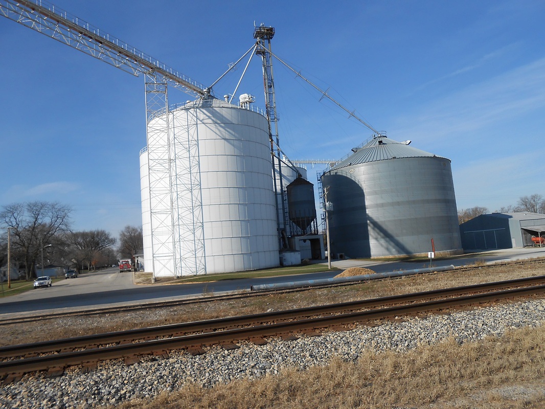
Today, the Farmer's Elevator Company of Manteno elevator (one of them), Four T's Management warehouse, and some other unidentified warehouse-like business.
For more information on the Manteno grain elevators:
http://www.fecmanteno.com/history.htm |
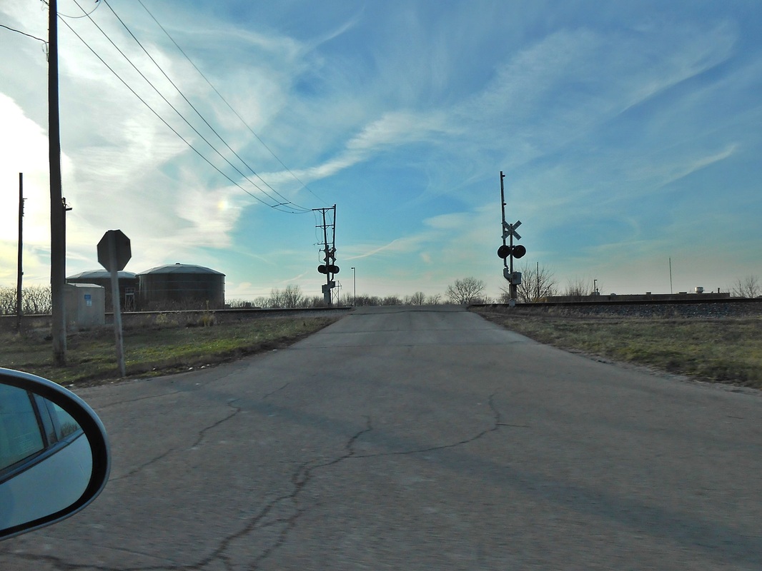
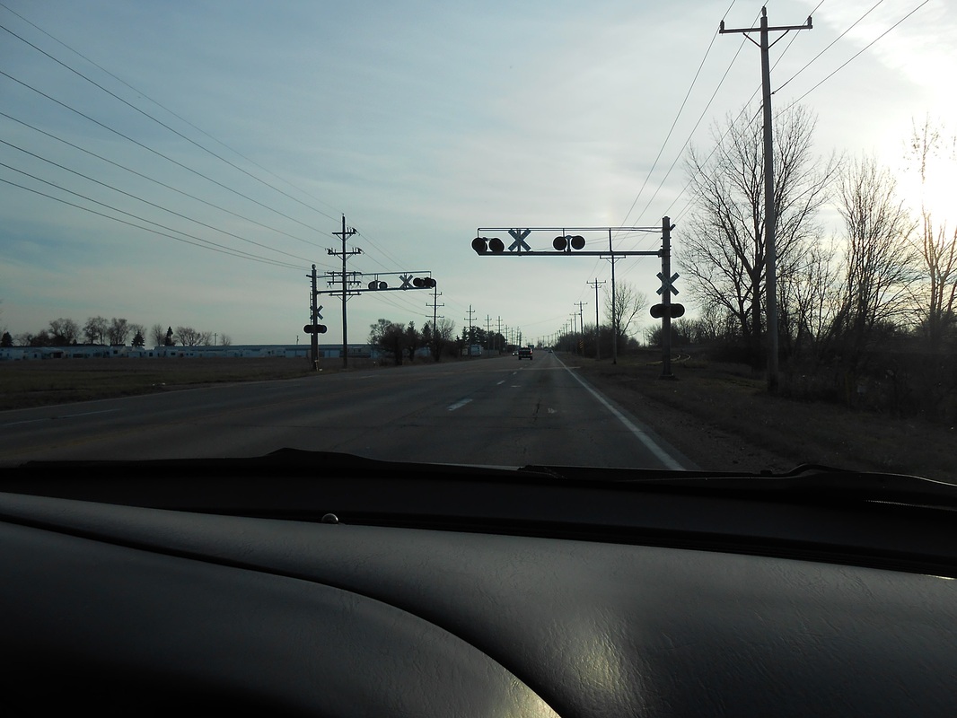
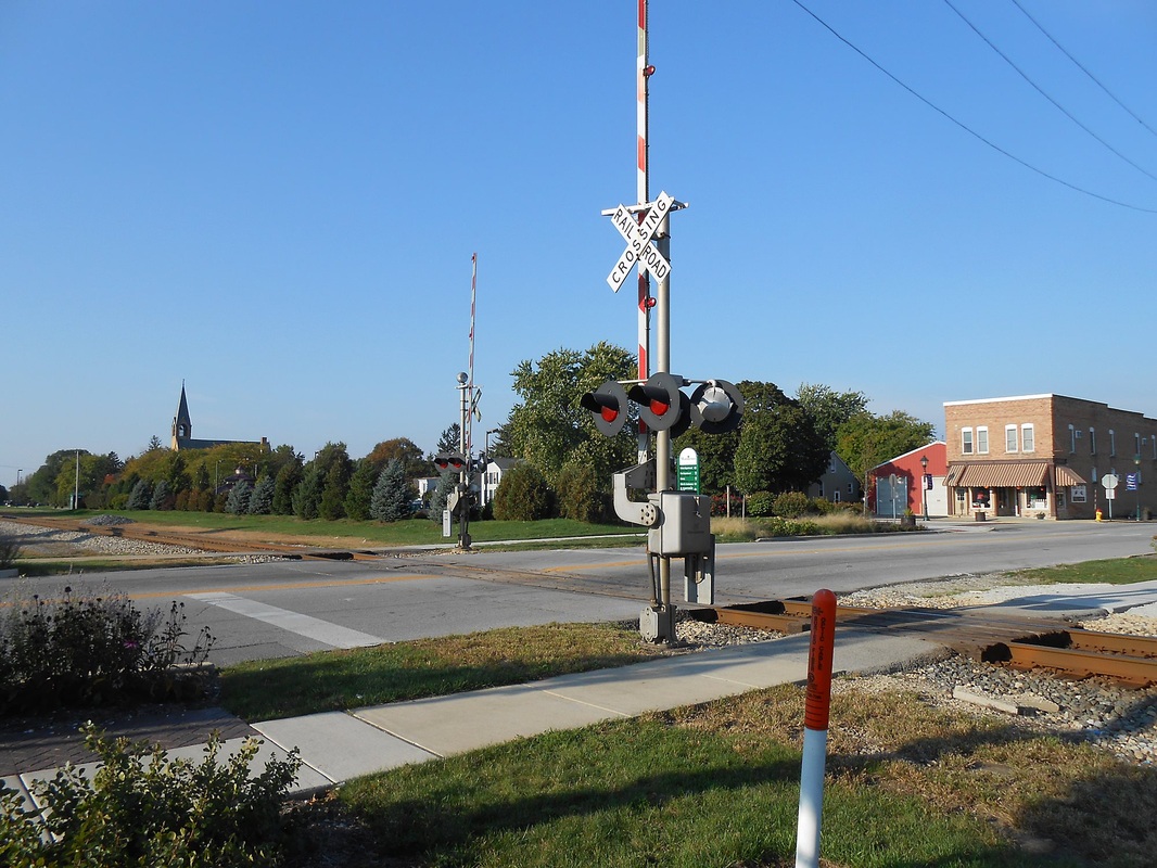
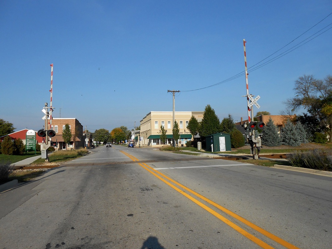
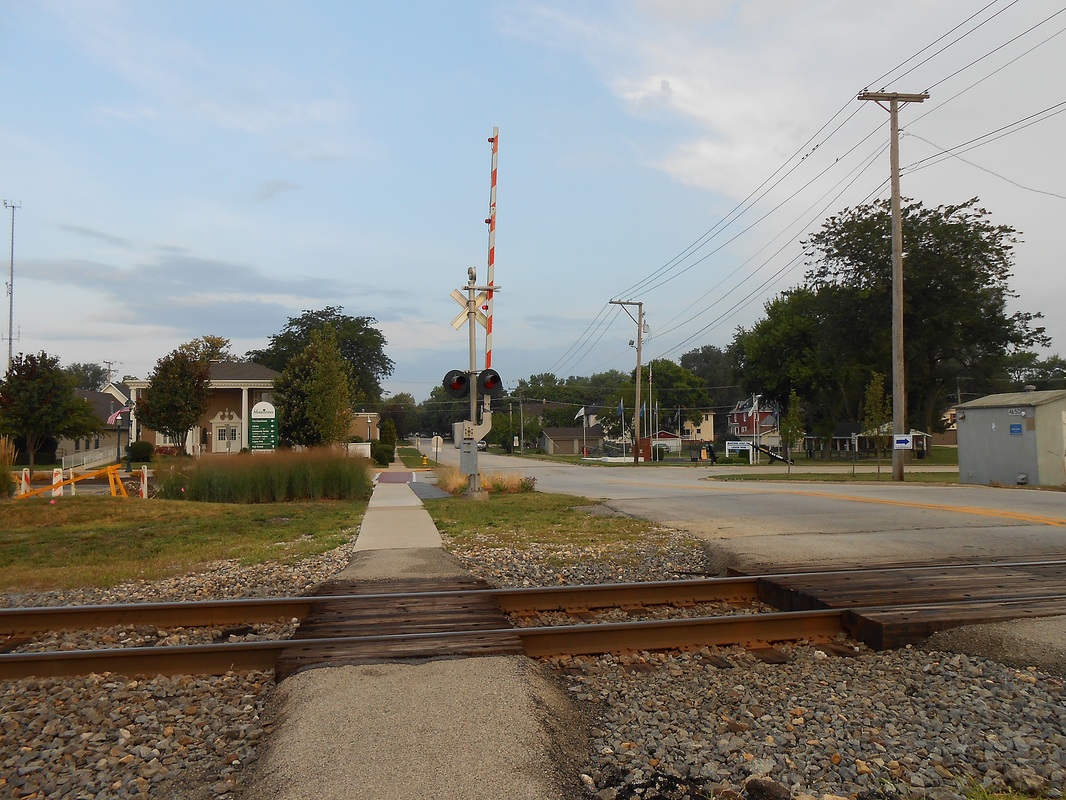
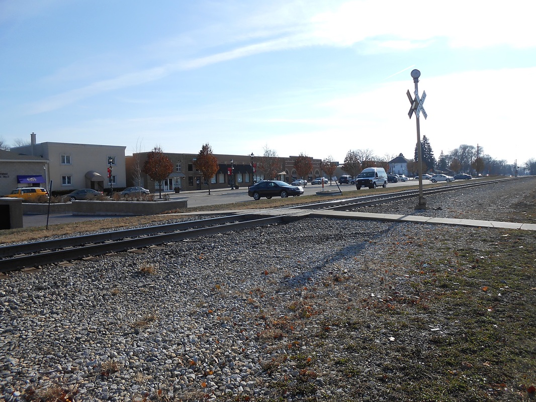
Grade Crossings
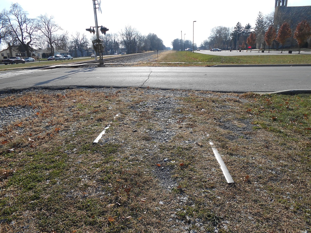
The downtown area has 4 grade crossings, three of which are vehicle, and one pedestrian crossing. All signals are products of Safetran Systems and were originally installed by the Illinois Central. The pedestrian crossing has a cross buck dated from June of 1998. Outside of the downtown area features 3 more grade crossings. The list goes as follows, north to south:
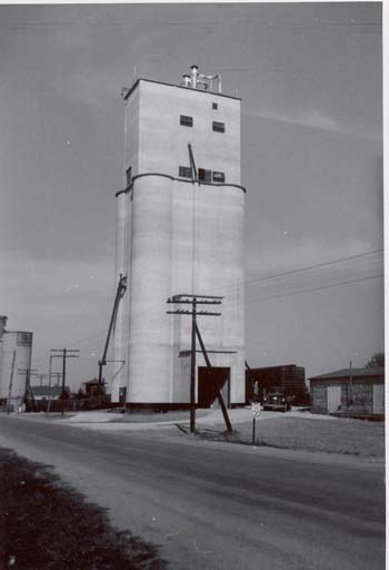
How the elevator in Manteno originally appeared.
|


Signals and Infrastructure
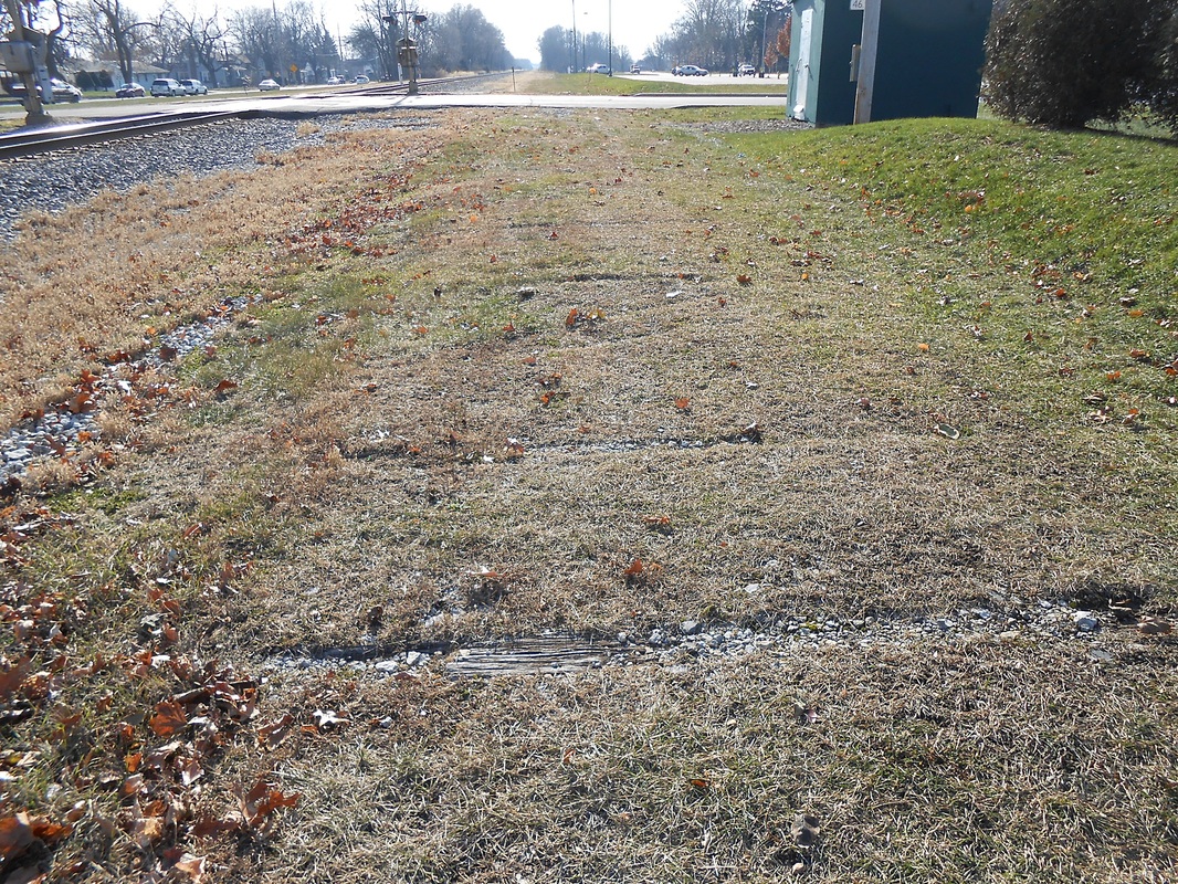
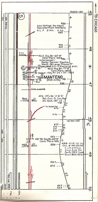
Originally Manteno of course had signals for train orders, and it is obvious (and confirmed by track charts) that there used to be gantry signals as was routine on the Illinois Central. Heading south, a gantry signal with a total of 8 signal heads came between a crossover track. Another 8 signal head gantry came south of that after the crossover tracks, and was right before 3rd St. The final signal gantry was past Rock Creek Bridge and after the hospital spur It featured 6 signal heads, four facing south and two facing north, divide among two tracks. It was north of East 6000 N road, just after it filed down to two tracks. Here, have a look at the track chart on the right:
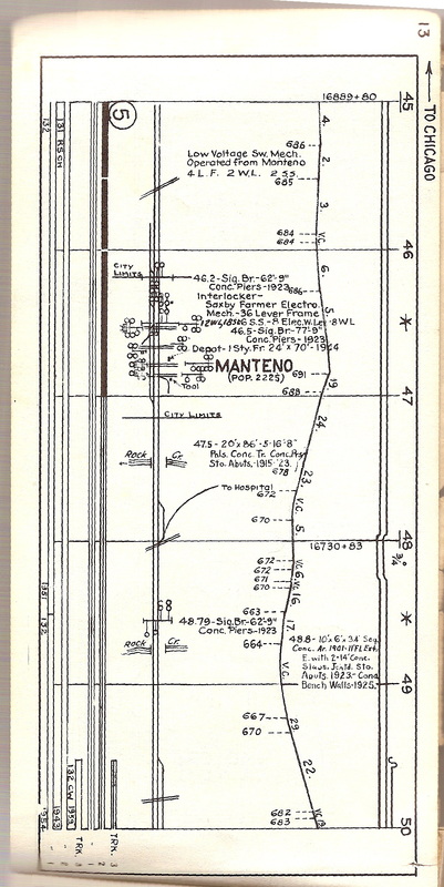
Special thanks to Skip Luke for contributing this fine chart.
NOTICE: This track chart is from 1959 therefore does not resemble the original track layout of Manteno or its current.
|
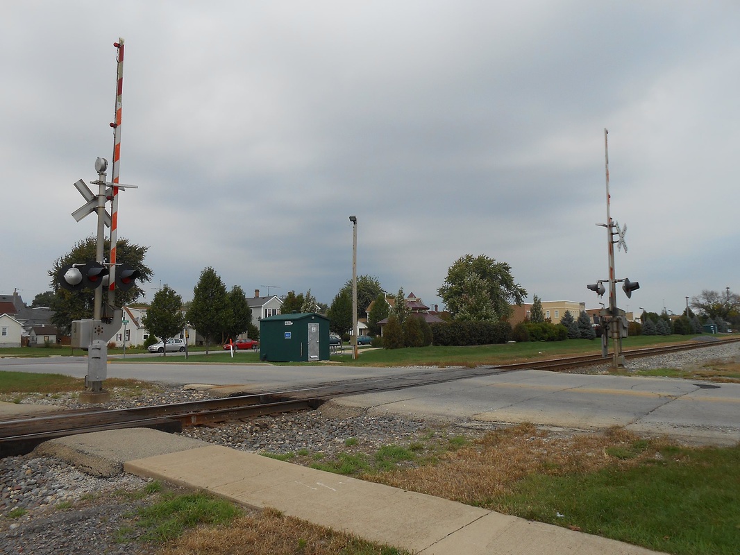
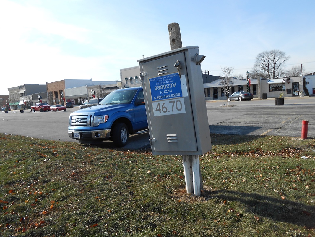
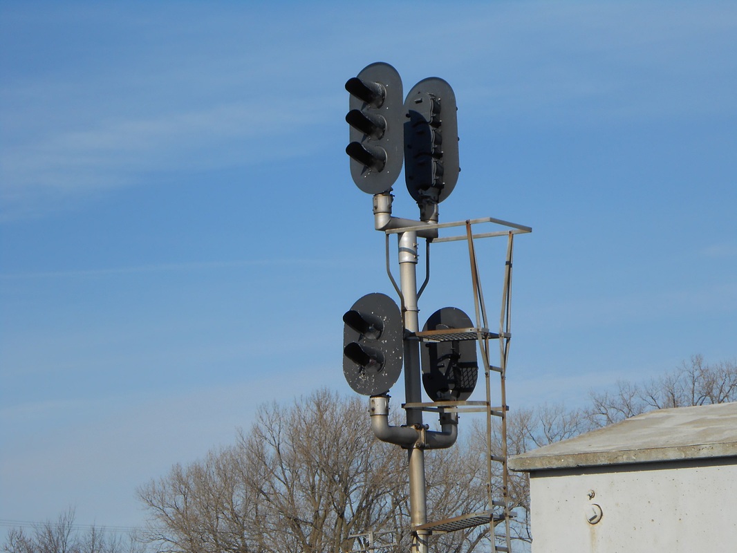
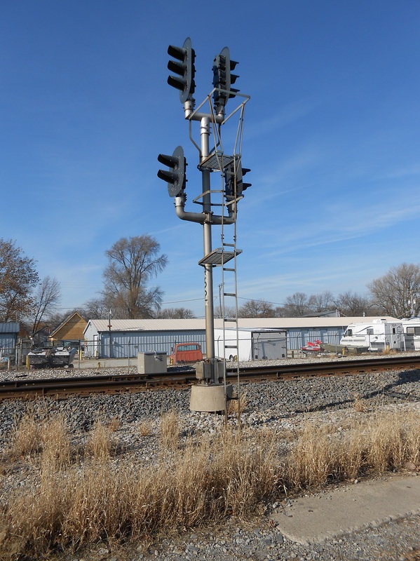
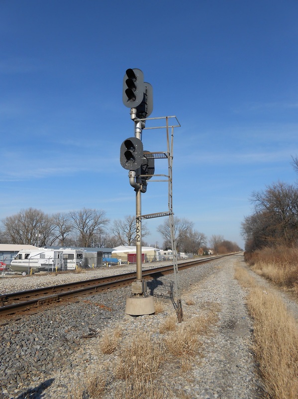
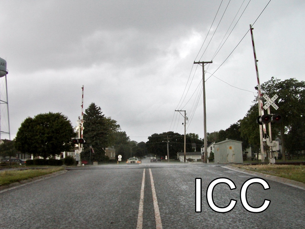
Currently, the only signal within the vicinity of Manteno is a double sided 4 head intermediate, part of the A.B.S. (Automatic Block Signal) system currently implemented along the railroad system. This signal is a Safetran Systems CLS type signal that is likely to be replaced shortly for the P.T.C. (Positive Train Control) upgrades due by 2015. Included below are images of what I have taken of what is left of the gantry signals today.
Signaling Today:
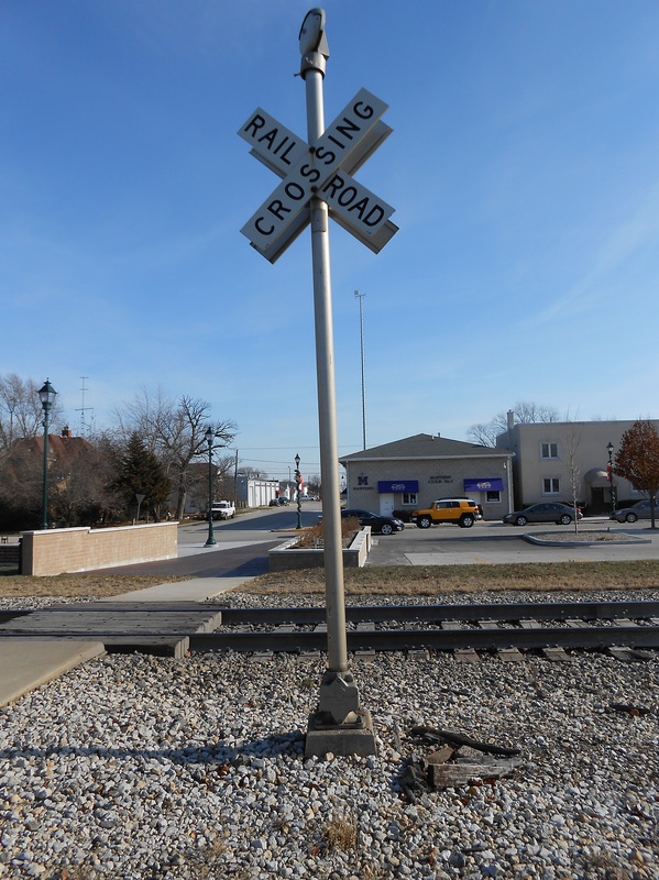
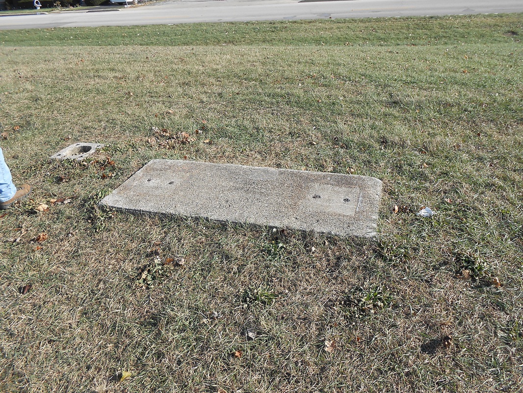
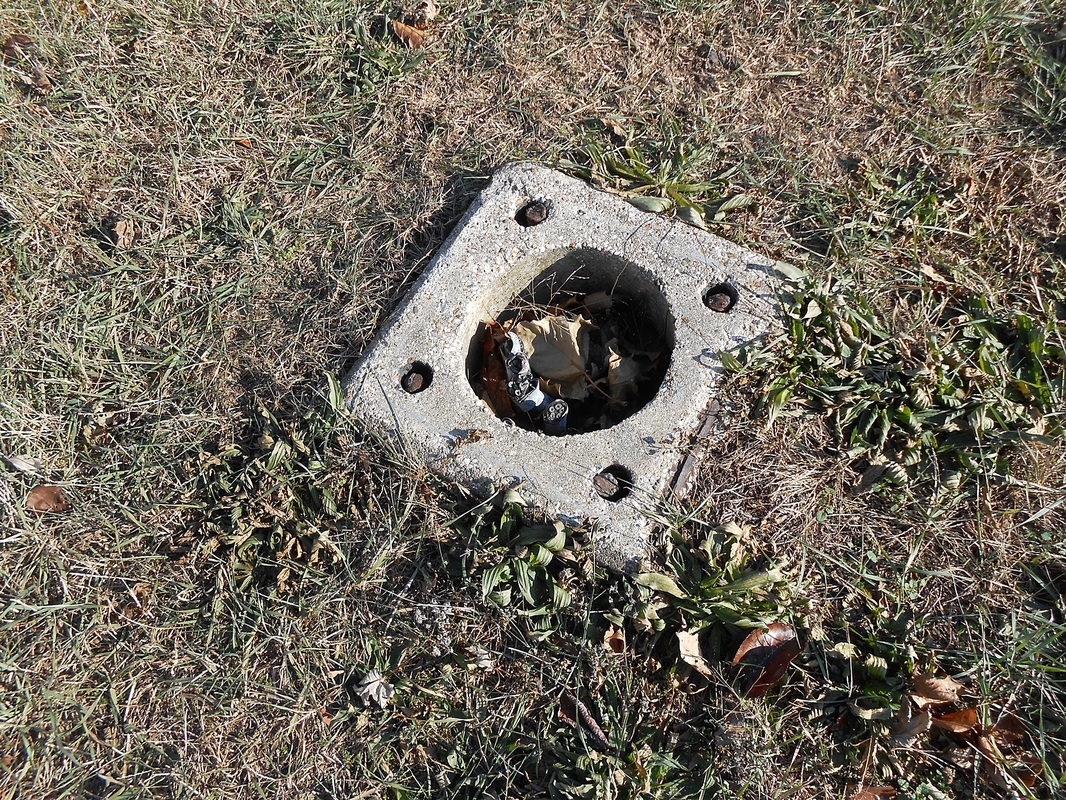
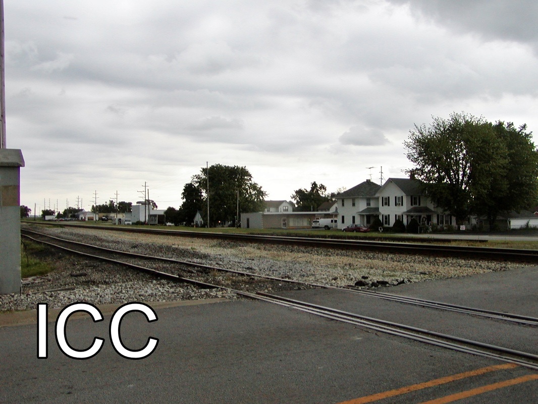
Remains of Original Gantries (installed 1923 - 198/9?)
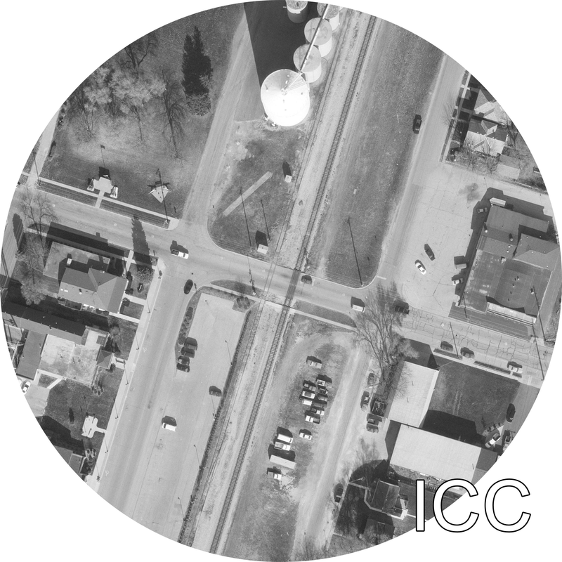
Another good look at the track chart will show many tracks that are no longer in Manteno, IL. Here are my images to prove just that:
|


Below is an edited track chart of the one featured above. What is in RED is what is CURRENTLY there. What is in BLACK/UNCHANGED is what is NO LONGER there:
As you can see, much has been removed from the original infrastructure in Manteno. The Illinois Commerce Commission documents each grade crossing with images from various years and a satellite image to boot, all publicly available. The satelite image is so old that you can still see where one of the crossover tracks were and the reason why 3rd Street crossing has a signal so far back - the track from the grain elevator went further on than were it stops today, which is obvious it went through the whole town back in 1959 and so on. A link to the ICC page is included under the Resources. The only reason I posted the images here is because the ICC has recently been removing old grade crossing images that basically removes the only images of the original signals or tracks. I have no idea if the ICC will or will not remove these out of date images, so I have taken the liberty of ensuring they're preserved.
Videos
Here is a YouTube playlist of some videos I've taken in Manteno, IL:
https://www.youtube.com/playlist?list=PLyW68Bu7dF1hceKIDDH44XwdWRpmh_1BV
https://www.youtube.com/playlist?list=PLyW68Bu7dF1hceKIDDH44XwdWRpmh_1BV
Additional Resources on Manteno
Resources
- Wikipedia, 2013. 0. <http://en.wikipedia.org/wiki/Manteno,_Illinois>.
- . N.p.. Web. 29 Nov 2013. <http://www.fecmanteno.com/history.htm>.
Special thanks to Skip Luke for the track profile charts.
ICC 3rd Street Crossing Information Page: http://www.icc.illinois.gov/railroad/crossing.aspx?dotId=288922N
More information to be added! Have corrections or something to say?
Please contact us IMMEDIATELY!
Please contact us IMMEDIATELY!